Gran Canaria is easier to understand from a sketch than from a map: an almost round cone rising from the sea to nearly two thousand metres at its centre. That is why the island can be explored in two ways. One is fast and runs around the edge: the motorway along the east and south coasts. The other goes up, on winding roads that are never taken in a hurry. Knowing which one each day calls for is half the trip.
The essentials
- GC-1: the motorway linking Las Palmas with the south via the airport, as far as Mogán. It is the island’s spine.
- The summit: mountain roads up to Tejeda and Cruz de Tejeda. Short distances, long journey times.
- Buses: intercity routes are run by Global; in the capital, by Guaguas Municipales.
- Roque Nublo: advance booking through Gran Canaria Senderos; no parking beside the trail.
- West coast: the road from Agaete to La Aldea is under construction; check its status before you go.
The coast: the GC-1 and the bus
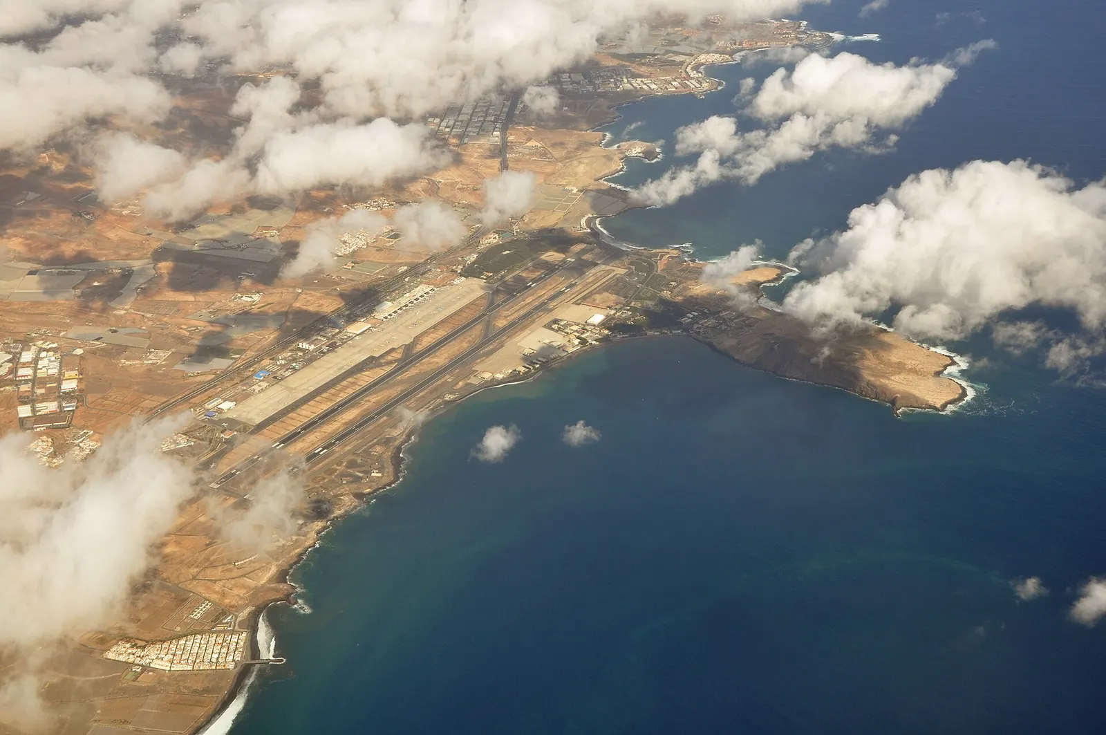
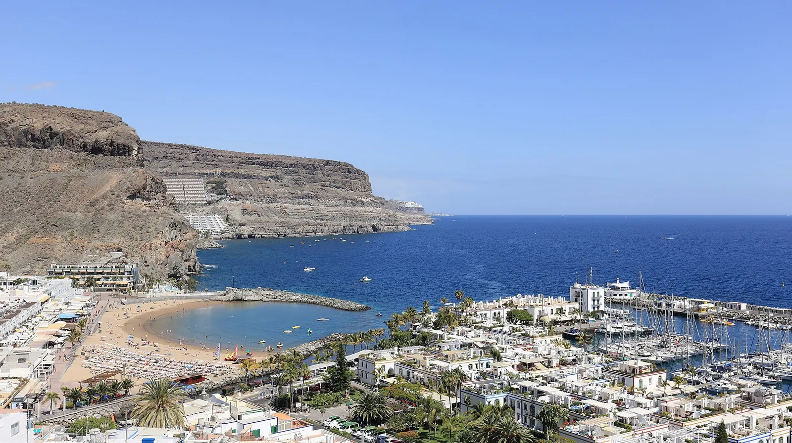
Almost everything a visitor needs on the coast hangs off the GC-1: the capital, the airport, Playa del Inglés, Maspalomas, Meloneras, Arguineguín and Mogán. It is an easy motorway that only gets busy at rush hour near Las Palmas. Many of Global’s buses — the network linking the island’s towns — run along it, so if you are based on the coast you can manage several days without a car. Times and fares are on Global’s website.
The summit: bends and time
Driving up to the summit is another matter. The roads to Tejeda, Cruz de Tejeda or Artenara have tight bends, steep gradients and narrow stretches, and at weekends they are shared by cars, buses and cyclists. The rule is simple: allow twice what the map says and set off early. Up there the light and temperature change, and cloud can roll in within minutes; bring an extra layer even if it feels like summer below.
If you would rather not drive in the mountains, this is the day to hire a private driver: you go up looking at the landscape, not at the verge.
Roque Nublo, by booking only
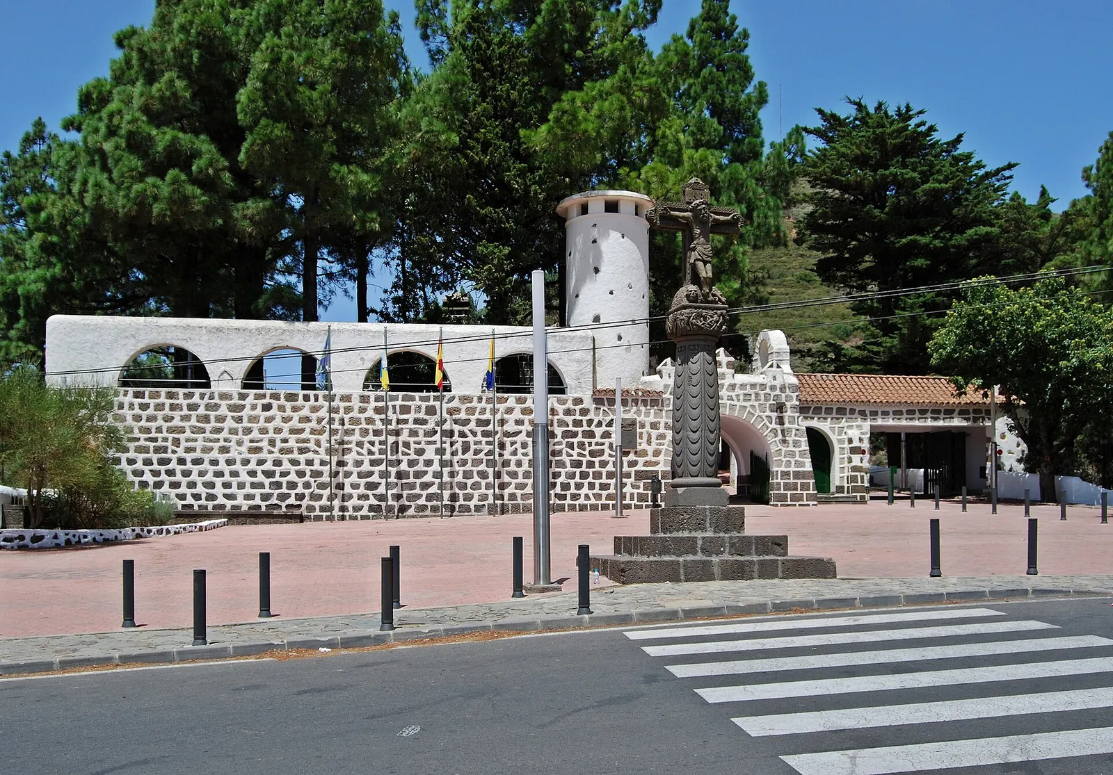
The island’s emblem can no longer be visited as it once was. Access to the protected area of Roque Nublo requires advance booking through the Cabildo’s official channel, Gran Canaria Senderos, and you can no longer park beside the trail: there are park-and-ride car parks in Tejeda and at Cruz de Los Llanos, with a shuttle bus. Check the conditions before you go; they change with the seasons.
The west coast: a road being rebuilt
The historic coastal stretch of the GC-200 between Agaete and La Aldea de San Nicolás — the one along the cliffs — was closed after a rockfall. It is being replaced by a new road through tunnels: the Faneque tunnels have been open since February 2024, and the project to complete the work was approved in November 2025. Before planning the west coast from the north, check the road’s status with the Cabildo de Gran Canaria. From the south, the GC-200 climbs inland from Mogán towards La Aldea: a mountain road with stretches exposed to rockfalls after rain, so check its status too before setting out.
What works when
- Based in Las Palmas or the south, beach and city plans → bus and taxi.
- Summit days and inland villages → car or private driver, early start.
- Roque Nublo → book through Gran Canaria Senderos and take the shuttle from the car park.
- Arriving today → our guide from Gran Canaria airport to your hotel.
Our view
Gran Canaria punishes anyone who wants to see it all in a day. The coast goes by quickly; the summit does not, and that is precisely where the best of it lies. Set aside one day to go up, do not overfill it and let the road set the pace. And respect the new rules in the protected areas: the Roque Nublo booking is not red tape, it is what keeps the trail a place where you can still hear the wind.
Information as of October 2026. Access to protected areas and road conditions change: check Gran Canaria Senderos, the Cabildo de Gran Canaria and Global’s website before you go.