Tenerife has a corner where the island’s noise fades away. It lies in the north-east, half an hour from Santa Cruz: a narrow, rugged range covered in a damp forest that lives on mist, with hamlets clinging to the slopes and black-sand beaches at the end of roads best taken slowly. This is the Anaga massif.
The essentials
- Where: Tenerife’s north-east, half an hour from Santa Cruz. A rural park and a UNESCO Biosphere Reserve since 2015.
- Where to start: Cruz del Carmen, with a visitor centre, a viewpoint and signposted trails.
- Permit needed: the El Pijaral trail requires prior authorisation from the Cabildo via Tenerife ON.
- Beaches: Roque de las Bodegas, Almáciga and Benijo, below Taganana. Swim only when the sea is calm.
- What to bring: a windproof layer; the ridges can be wet and cool even when Santa Cruz is sunny.
What Anaga is
Anaga is a rural park shared between San Cristóbal de La Laguna, Tegueste and Santa Cruz de Tenerife, and since 2015 it has been a UNESCO Biosphere Reserve. It is among the oldest land on the island, and it shows: deep ravines, sharp rock stacks and ridges carved by water over a very long time.
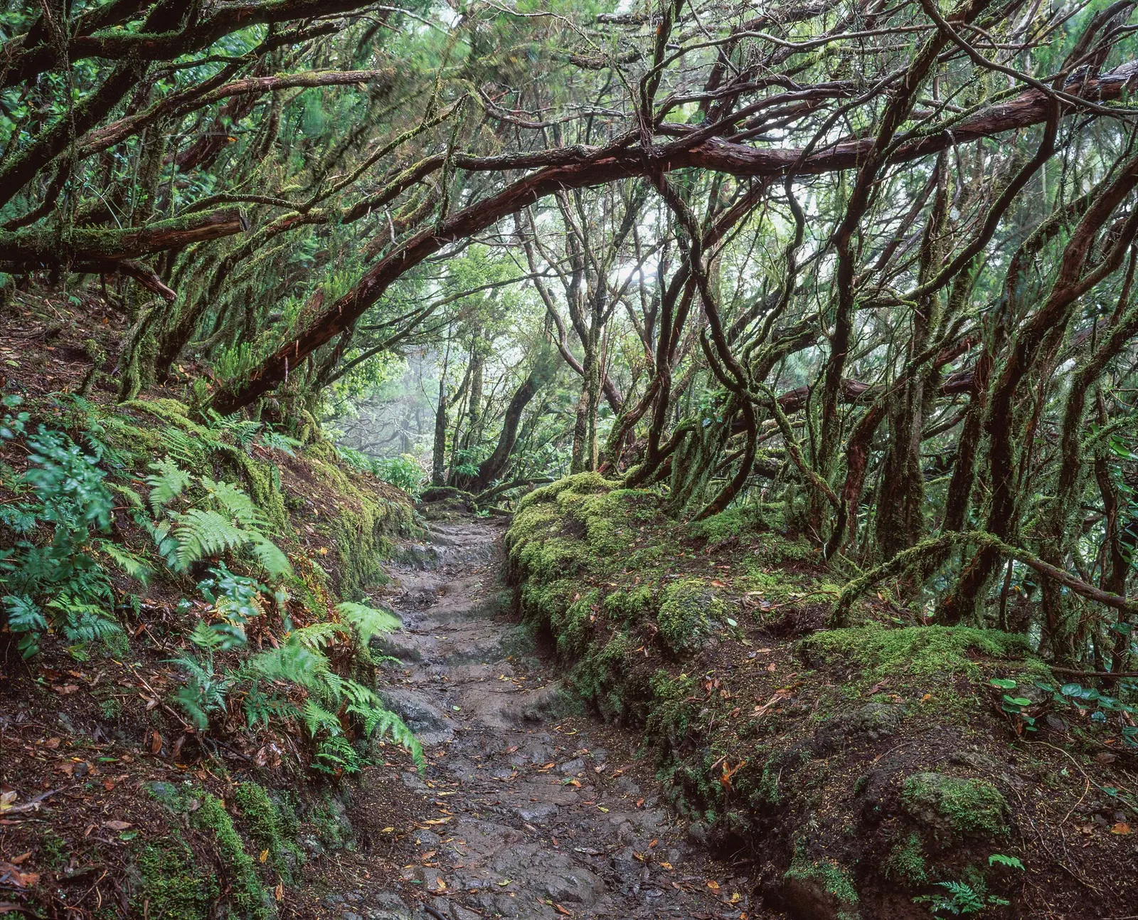
Its great treasure is the laurisilva, the forest of laurels, tree heath and ferns that covered southern Europe millions of years ago and now survives in only a few places in Macaronesia. It lives on the moisture carried by the trade winds: the sea of clouds catches on the summits and the forest drinks straight from the mist. Walking into it on a grey morning is enough to understand why it is called a cloud forest. The Canary Islands press often describes it as one of the places with the greatest biodiversity per square kilometre in the European Union.
How to explore it
The natural gateway is the road that climbs from La Laguna towards the ridge. At Cruz del Carmen there is a visitor centre and a viewpoint, and several signposted trails lead from there into the forest. It is the best place to start: get information, choose a route that suits the day and leave the car where it is allowed.
One of the best-known routes, the El Pijaral trail, crosses a strict nature reserve and requires prior authorisation from the Cabildo, applied for through its official channel, Tenerife ON; check it before you go. It is no small formality: it protects one of the best-preserved corners of the forest.
The same rules apply throughout Anaga: signposted trails only, no picking plants or taking stones, no drones and no camping outside designated areas and without authorisation. Parking is scarce and the roads are narrow and winding: park only where permitted and never on the verges of the hamlets, which are somebody’s front door.
Taganana and the end of the road
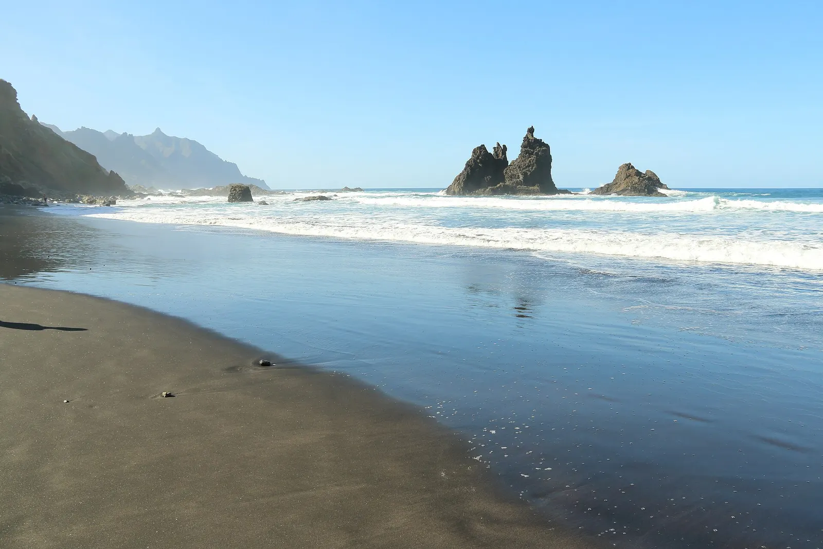
On the far side of the ridge, the road drops north to Taganana, one of the oldest settlements on the island, among vines on impossible slopes. From there you reach three black-sand beaches, each with its own character:
- Roque de las Bodegas, the calmest, with a handful of bars serving fish facing the sea.
- Almáciga, the surfers’ beach, open to the Atlantic swell.
- Benijo, the sunset beach, with rock stacks silhouetted in the water.
This is the northern Atlantic: strong currents and a swell that changes quickly. Swim only when the sea is calm, where there is a flag and a lifeguard, and stay close to the shore. Sometimes the best way to enjoy these beaches is to sit and watch them.
When to go
Anaga can be enjoyed all year, and grey days suit it better than anywhere else on the island. On weekdays and early in the morning, the forest is almost yours. At weekends, when half of Tenerife comes up to walk, it pays to start even earlier.
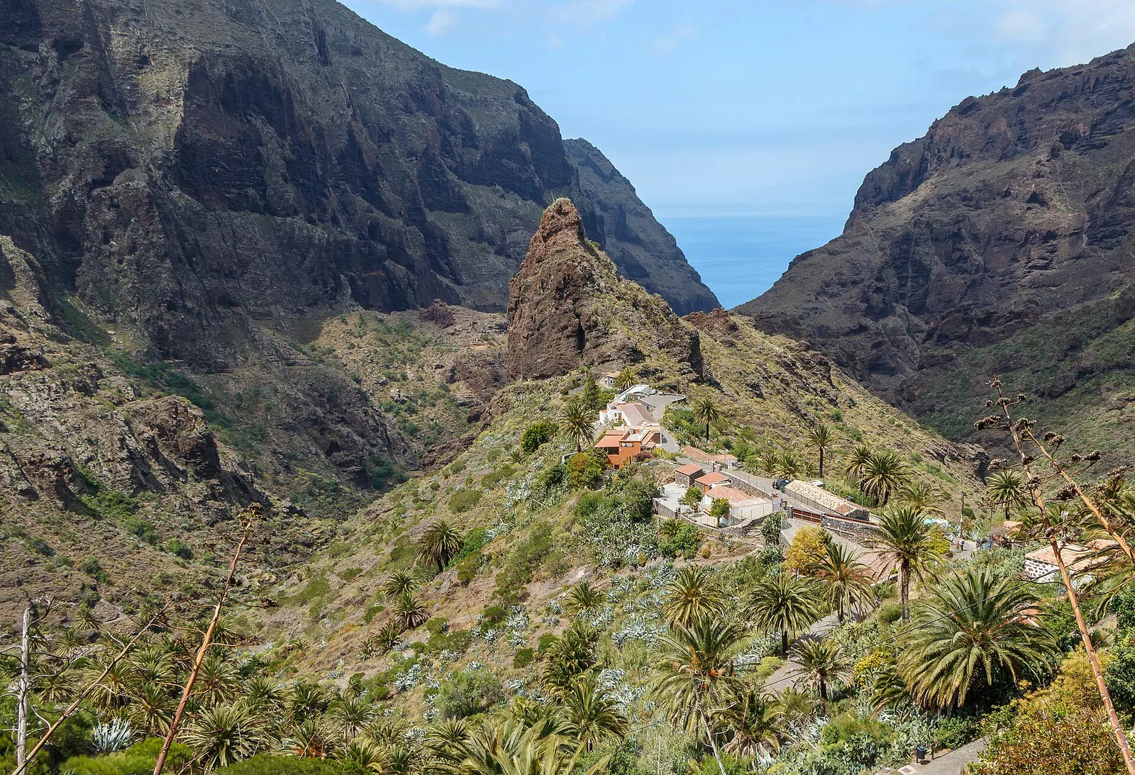
Always bring a windproof layer: on the ridge it can rain and turn cool even when Santa Cruz is in sunshine. For the island’s other face, dry and volcanic, the perfect contrast is Teide. And at the opposite end of Tenerife, Teno and Masca hold another ancient massif, also regulated.
Our view
Anaga is not visited; it is walked. Its luxury is the one we stand for, the luxury of time and silence, and it is lost as soon as you try to see everything in a day. Choose one trail, set off early, respect the authorisations and finish at Roque de las Bodegas with fish and the sea in front of you. That is Anaga.
Information as of October 2026, checked against the Canary Islands press and island guides. Regulated trails, their authorisations and the state of the tracks may change because of works, rain or fire: check the official channels of the Cabildo de Tenerife before you go.